CHALLENGE
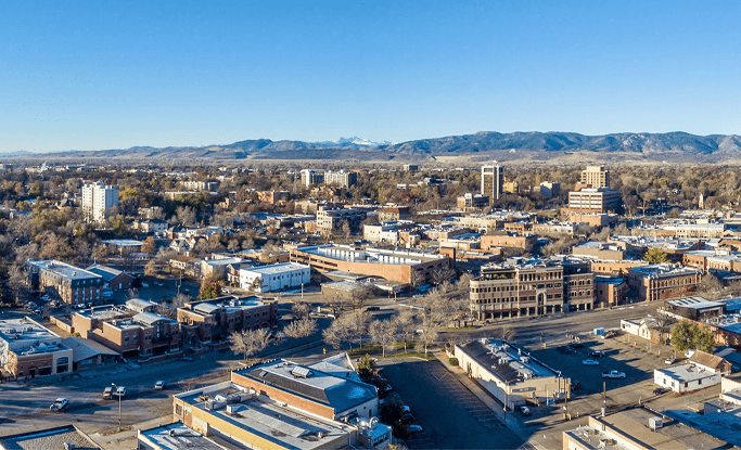
Located on the Colorado Front Range and about 65 miles north of Denver, Fort Collins, CO is the Home Rule Municipality of Larimer County, as well as the home to Colorado State University. It has an estimated population of 161,000 (as of 2016), and is the most populous municipality in the county. Due in large part to its population and active culture centered around Colorado State University, Fort Collins experiences more than its share of traffic congestion. According to a report released March 1, 2017 by TRIP, a Washington DC-based national transportation organization, increasing levels of traffic congestion is costing Northern Colorado (including Fort Collins) drivers $1,396 annually. This is on par with larger urban centers such as Los Angeles, CA. Fort Collins installed Centracs ATMS in 2013 and has been able to actively manage its traffic signal timing network. However, fluctuating congestion on a couple of high density corridors, including one with a rail crossing, continued to persist.
EXECUTION
In 2014, Fort Collins installed TrafficCast BlueTOAD system and activated the Centracs Blue Toad Travel Time module in preparation to leverage new traffic monitoring and management capabilities. Recently, the City upgraded to TrafficCast’s BlueTOAD Spectra system with the new BlueARGUS software to implement a Traffic Responsive application to actively clear traffic backups and prevent congestion.
By using the BlueTOAD and Centracs travel-time system combined with the Centracs Blue Toad application, Fort Collins is now able to collect the real-time speed and travel time data necessary to actively respond and change signal timing under defined traffic conditions. When pre-determined minimum speeds are detected along a corridor, an event is triggered in the Centracs ATMS to send the alternate timing plan to the appropriate traffic controller(s) to clear the congestion or slow traffic. And, when the detected speeds return to normal, another event is triggered in Centracs to return the signal timing back to the standard TOD signal plan. The high-density data that the BlueTOAD Spectra and BlueARGUS solution provides increases the accuracy needed for the traffic responsive application to more effectively clear and even reduce traffic congestion.
RESULTS
North College Ave.
This corridor sees high-density truck traffic along its two-mile, eight-intersection route. Due to the truck traffic, it experiences unpredictable changes in traffic flow and congestion. This is referred to as the “Truck Parade” by the City. When the detected miniumum speed threshold is reached, the BlueTOAD-Centracs Travel Time solution triggers the Traffic Responsive change the signal timing to the “Truck Plan” to quickly clear out the truck traffic congestion.
Lemay Ave. – East Vine Dr. Rail Crossing
While this intersection is considered a low-traffic-volume intersection, it is susceptible to significant traffic backups because of its proximity to a nearby rail crossing. When the trains cause a traffic backup as detected by the BlueTOAD system, the ATMS triggers the Traffic Responsive to select the alternate signal timing that cycles all the backed-up traffic through the intersection after the train passes, quickly returning the signal timing to TOD for this intersection.
Mulberry St. (State Hwy 14)
One of the main East-West corridors that leads to Colorado State University, Mulberry St. was severely impacted by the closure of a parallel corridor (W. Prospect Rd.) due to construction in 2016. Despite completion of the upgrades on W. Prospect Rd., the BlueTOAD with BlueARGUS system clearly showed that traffic was still detouring away from W. Prospect onto Mulberry, creating high fluctuations of traffic congestion. With the BlueTOAD-Centracs Travel Time solution, when speed levels slow, the traffic responsive application is able to change the signal timing to keep traffic moving, helping prevent congestion.


